
Surveying Experts for Successful Construction
About Us
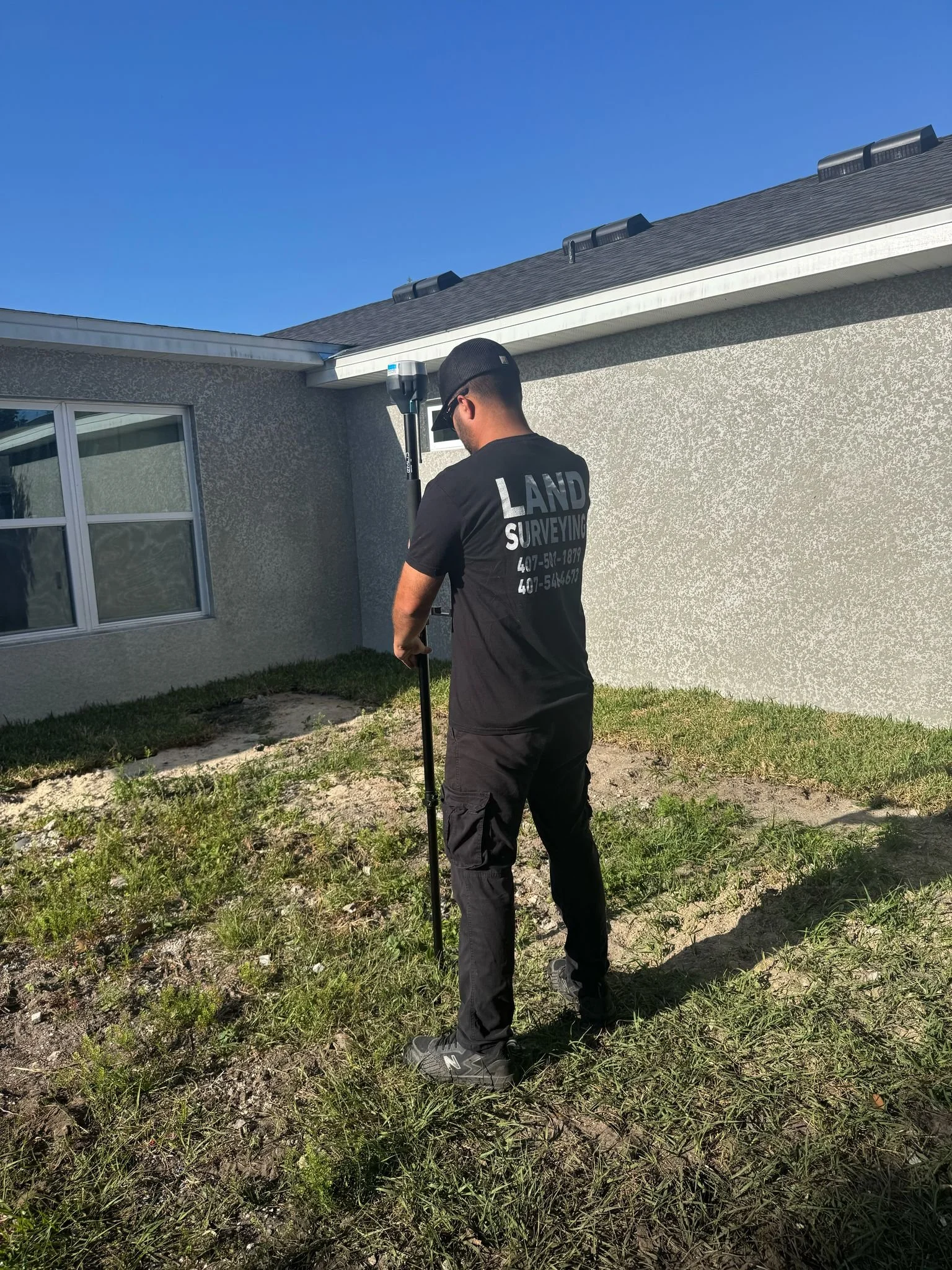
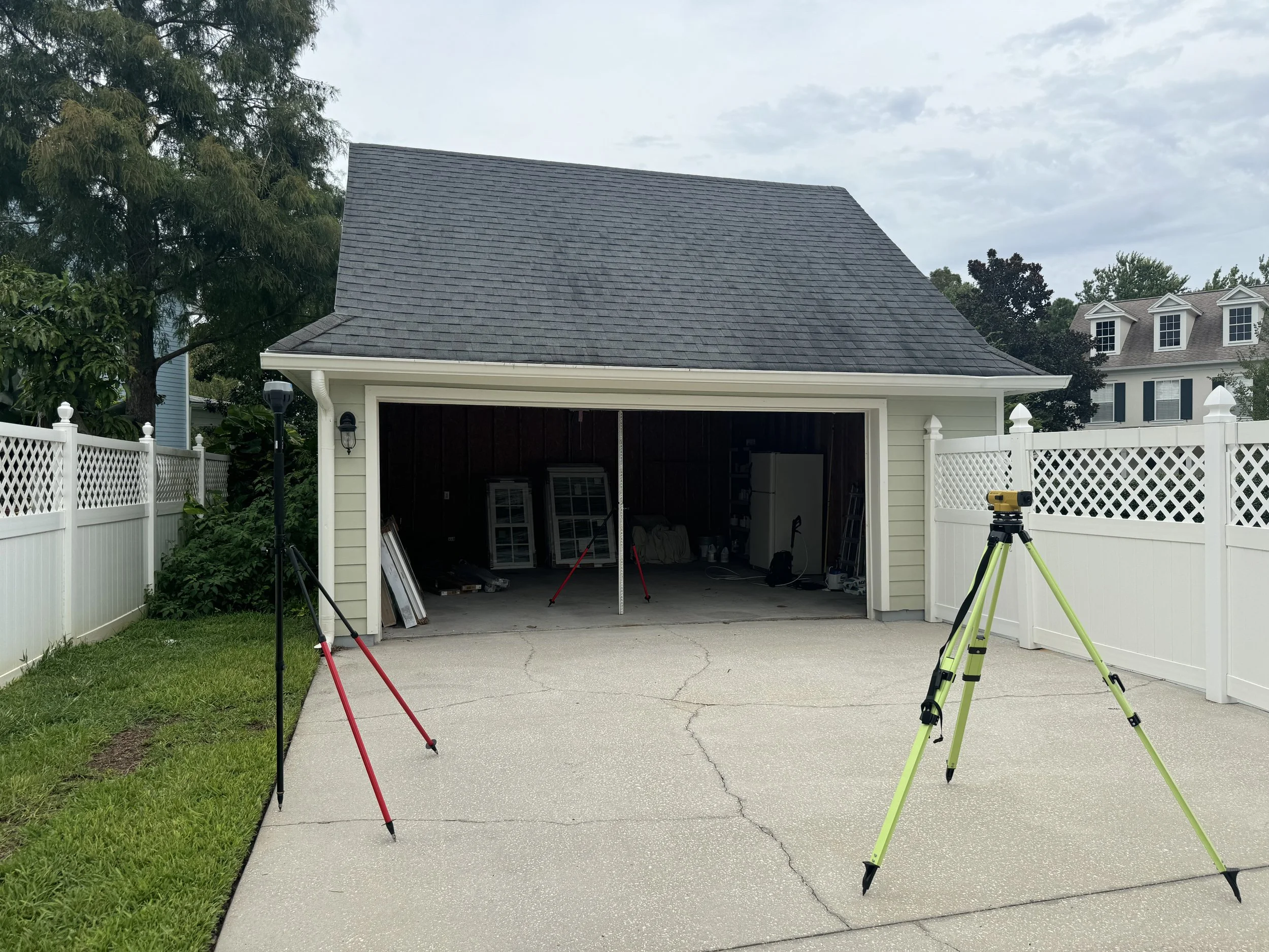
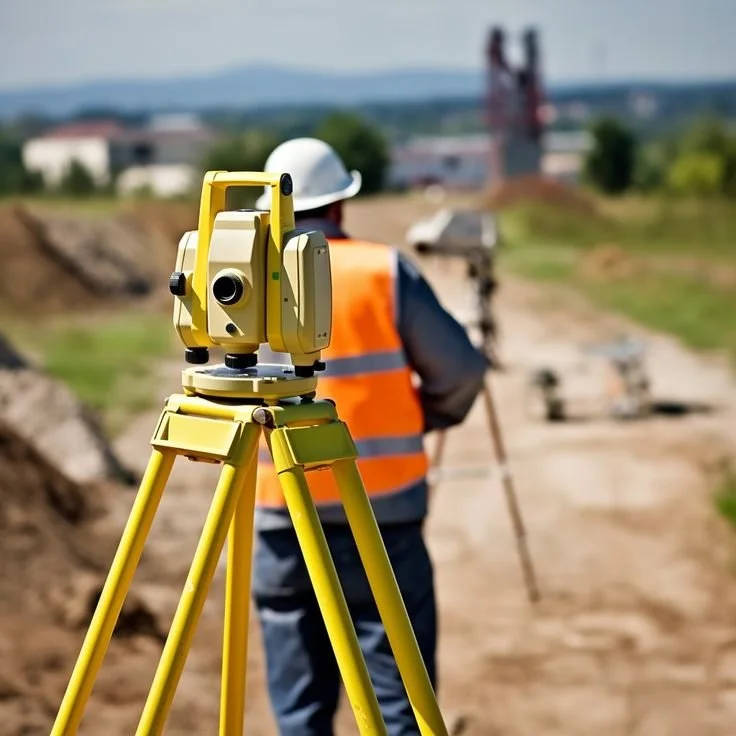
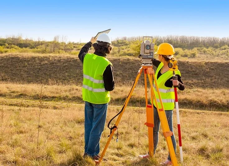
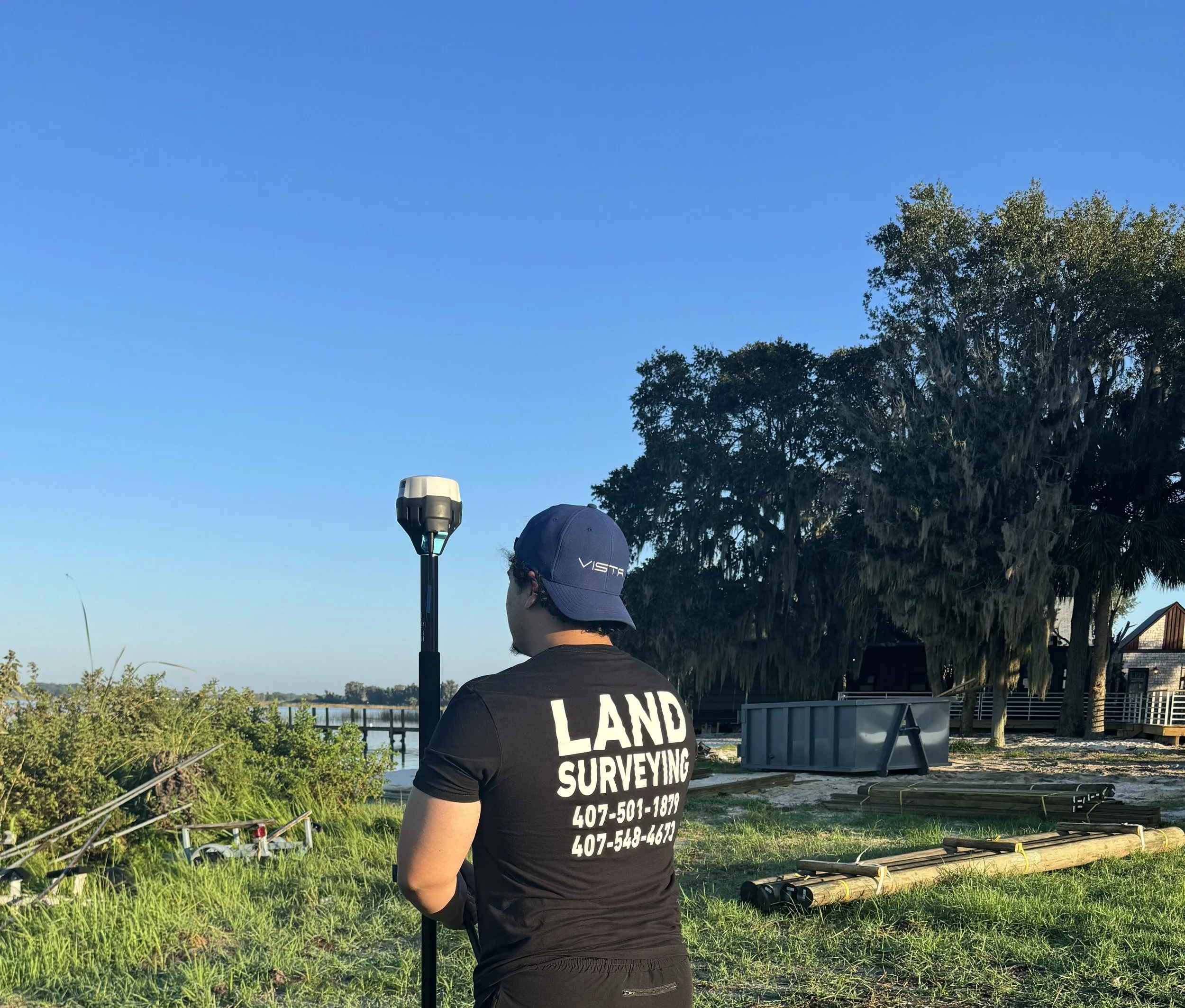
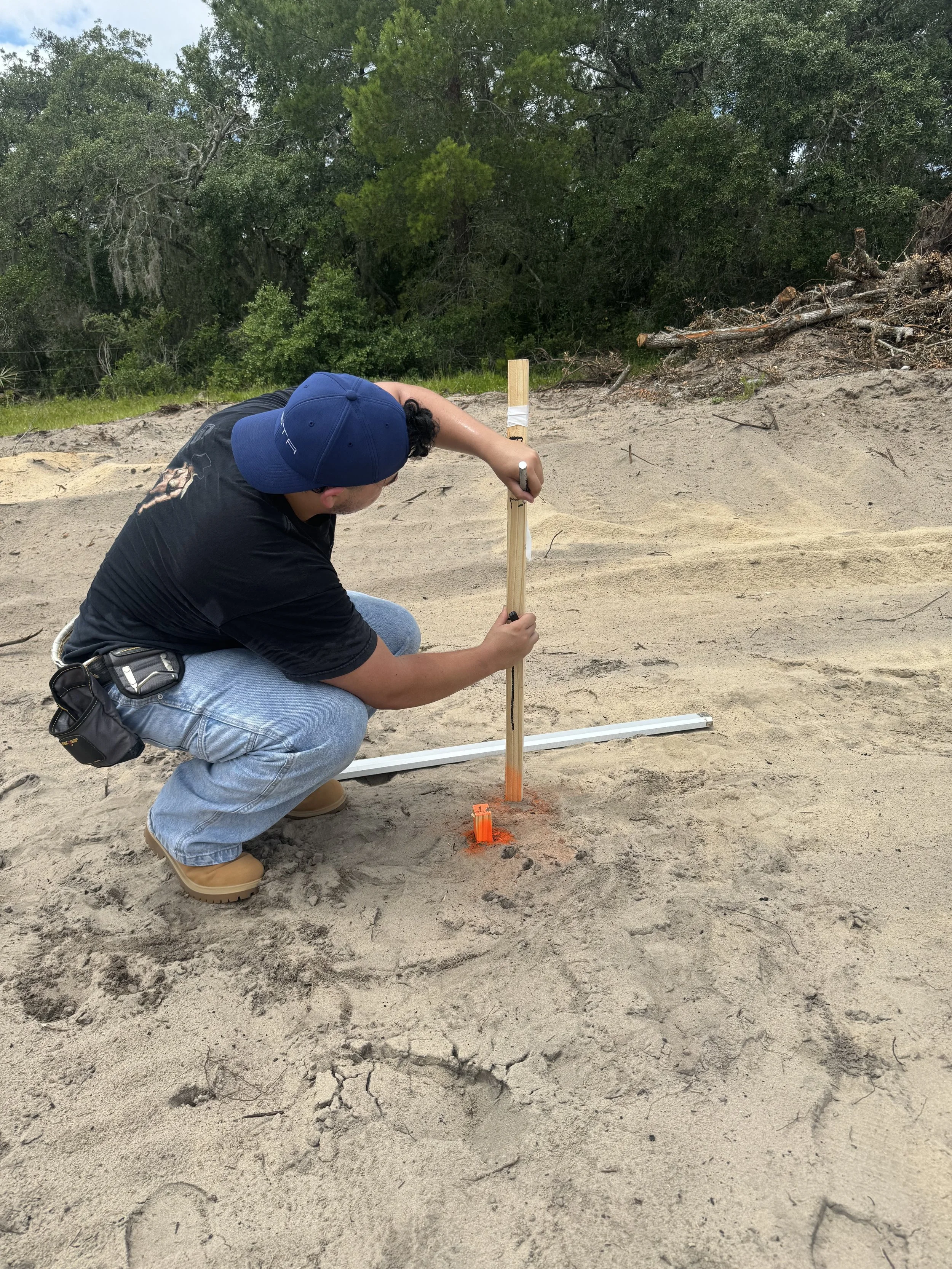
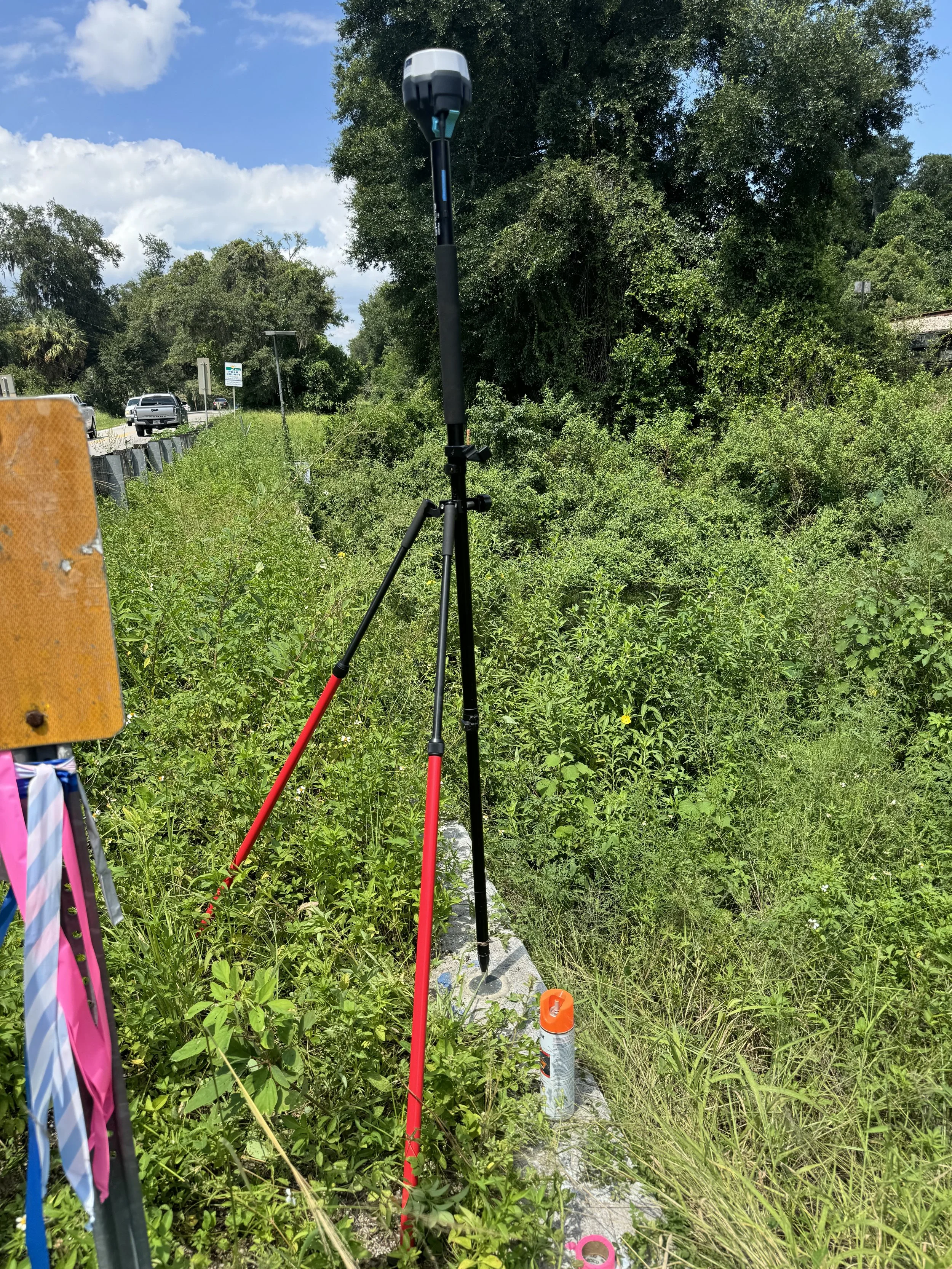
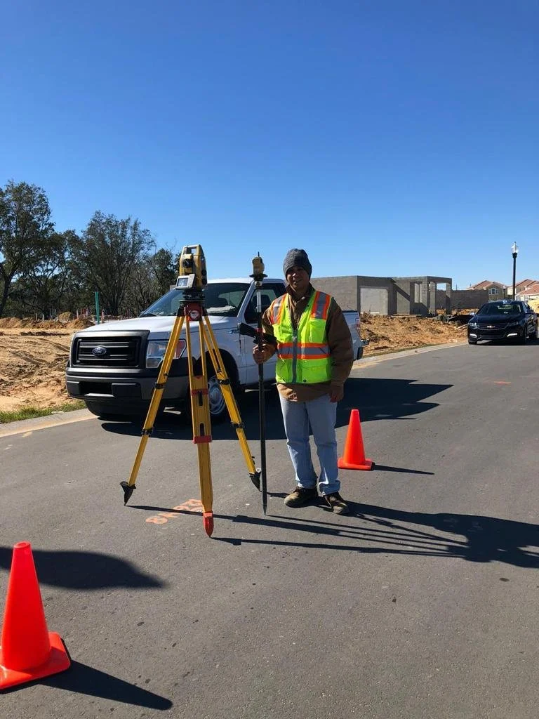
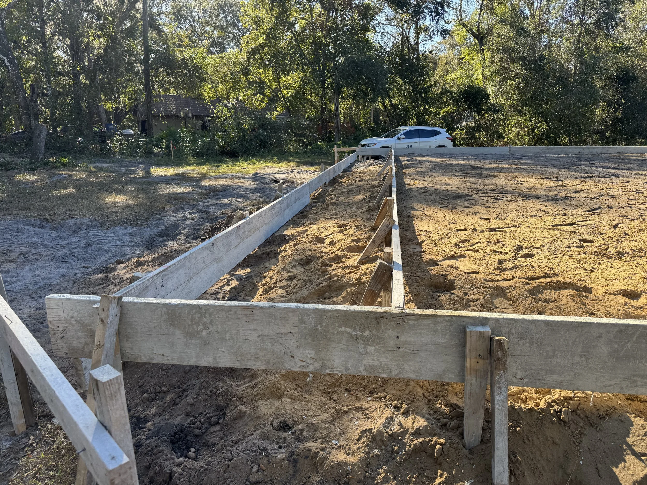
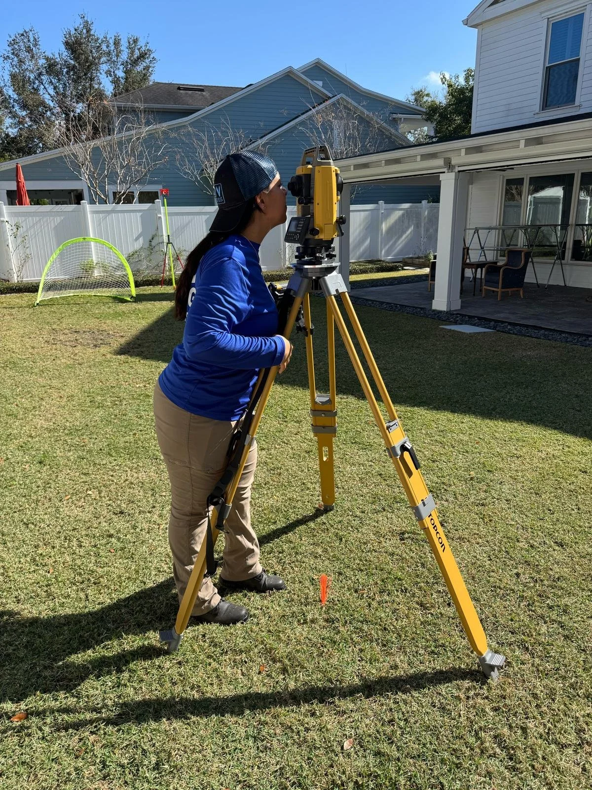
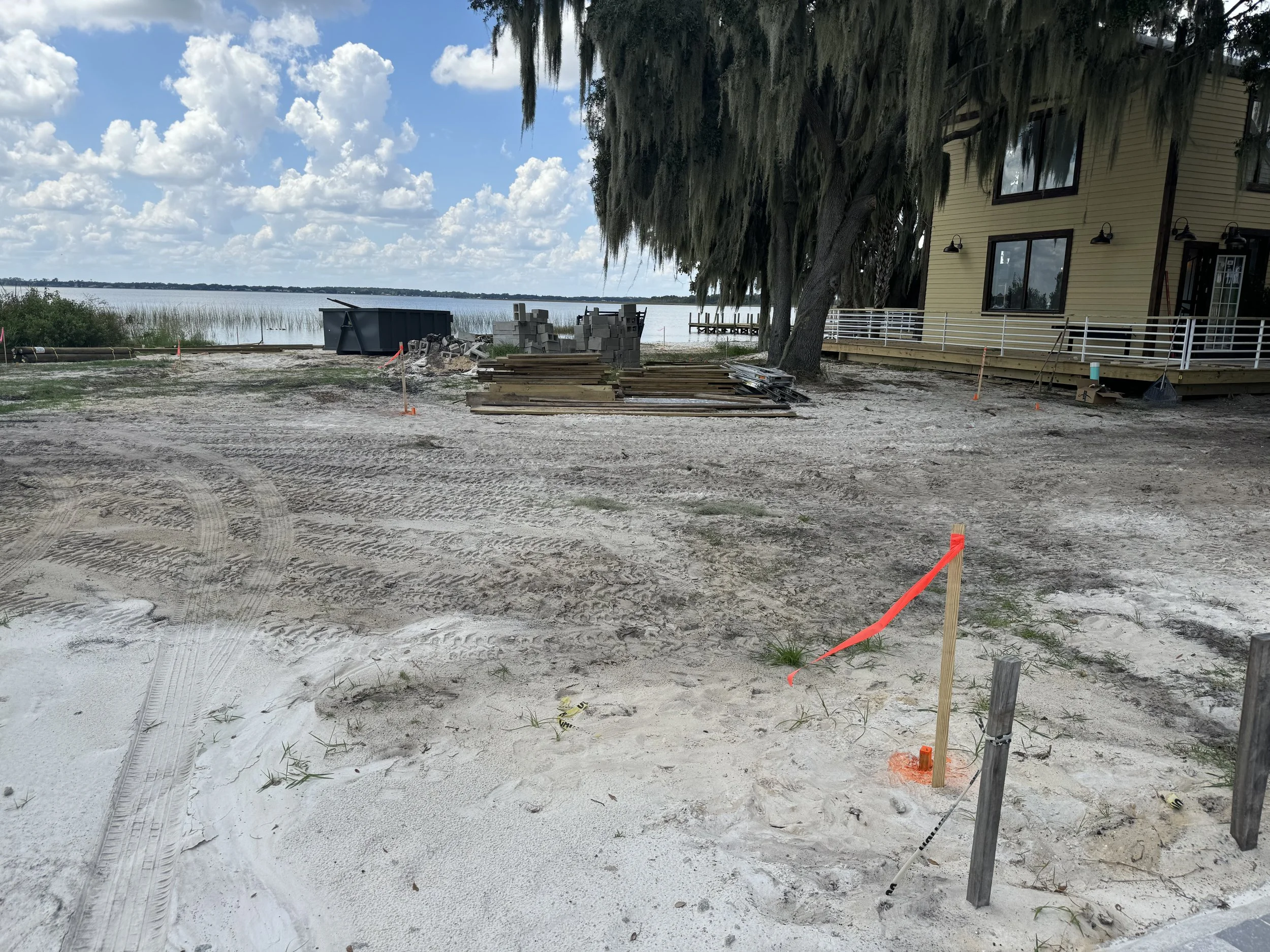
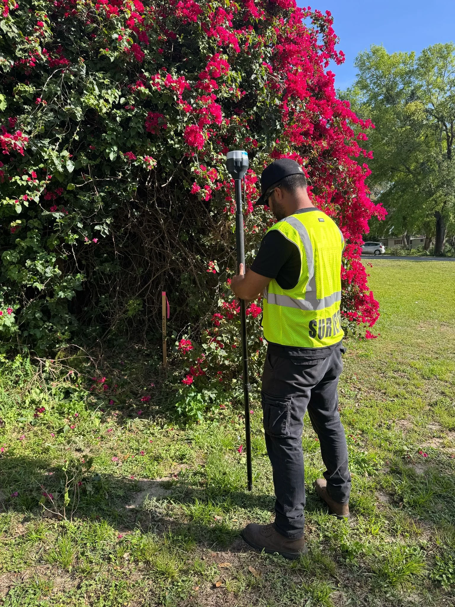
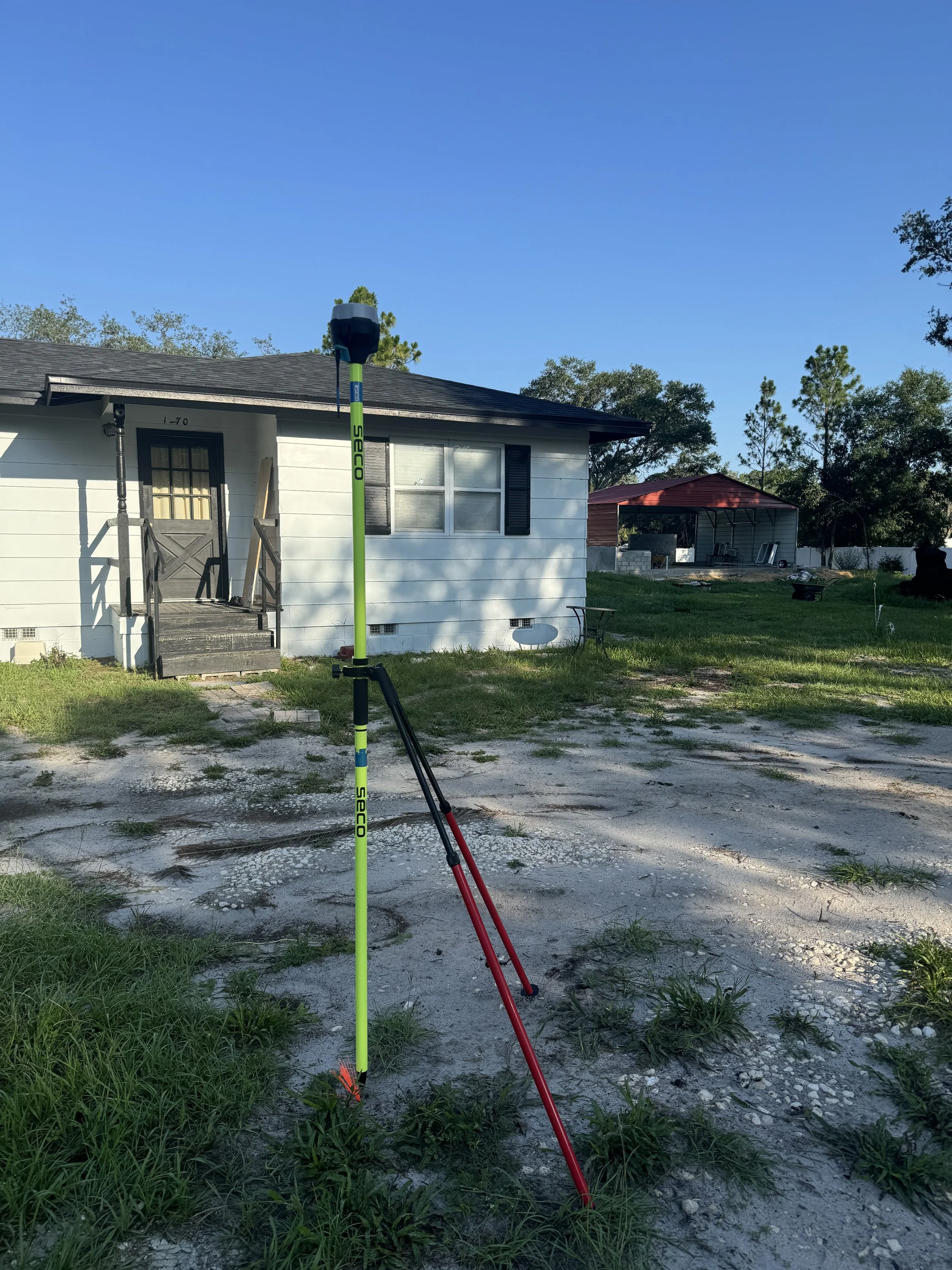
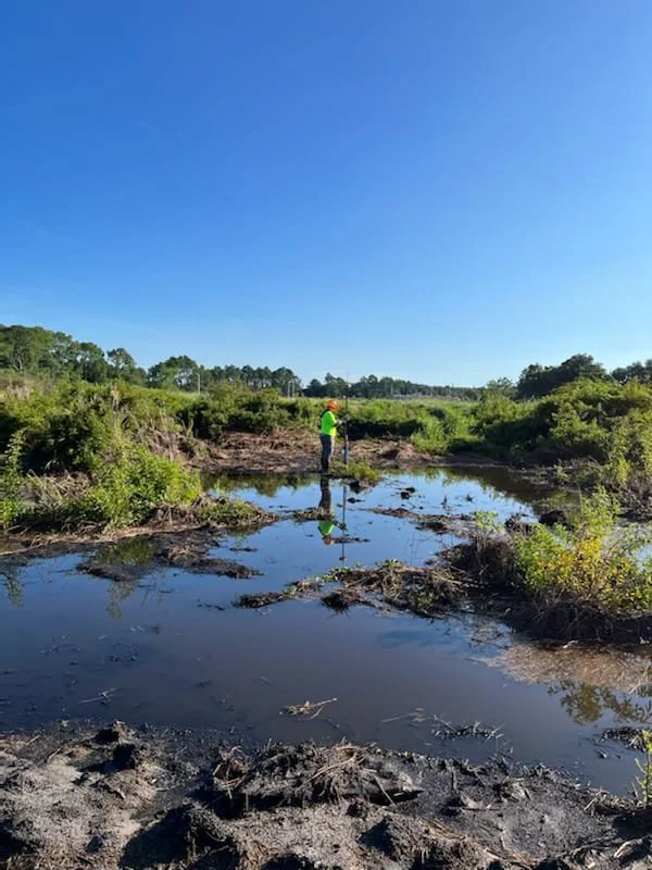
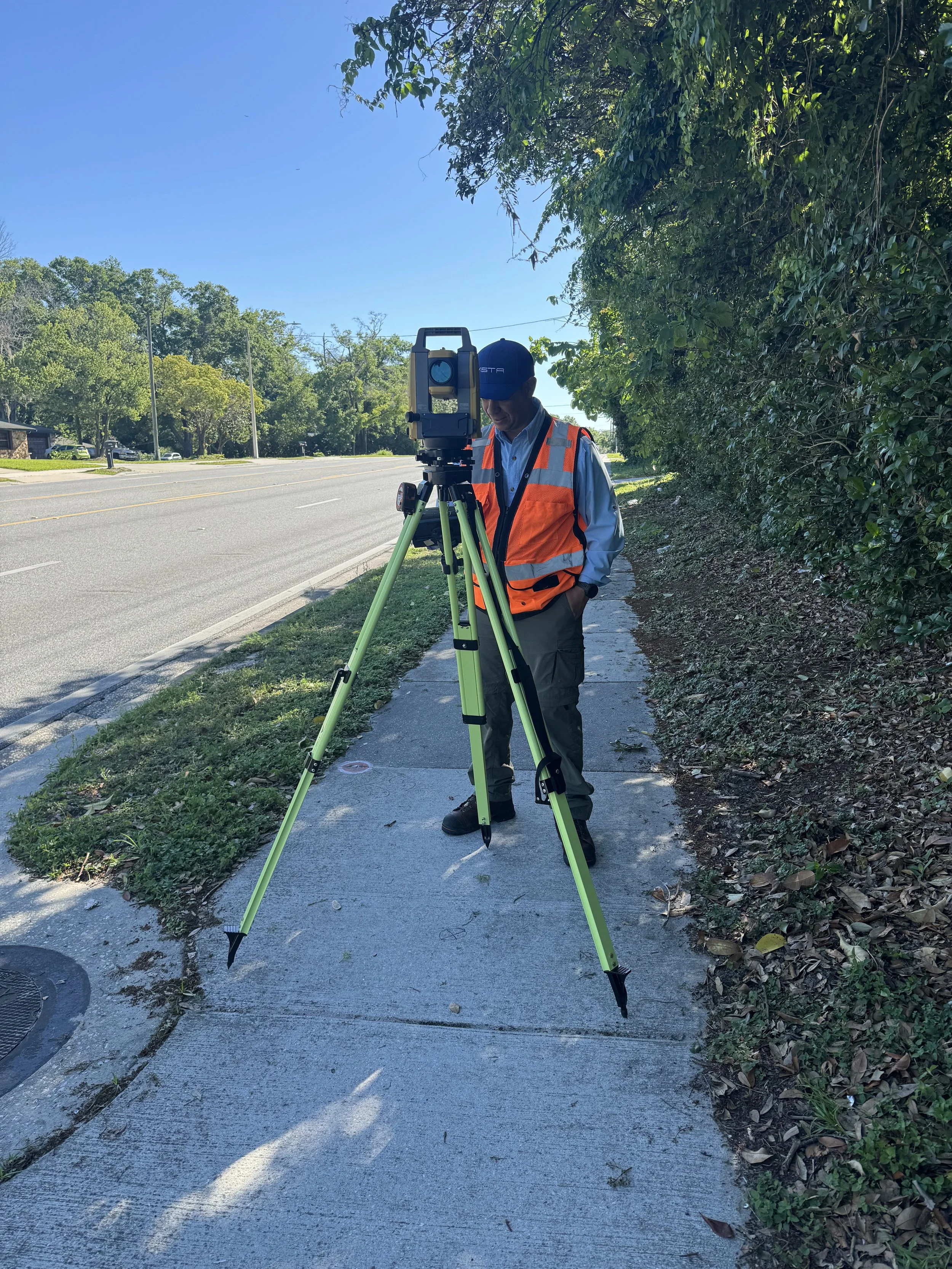
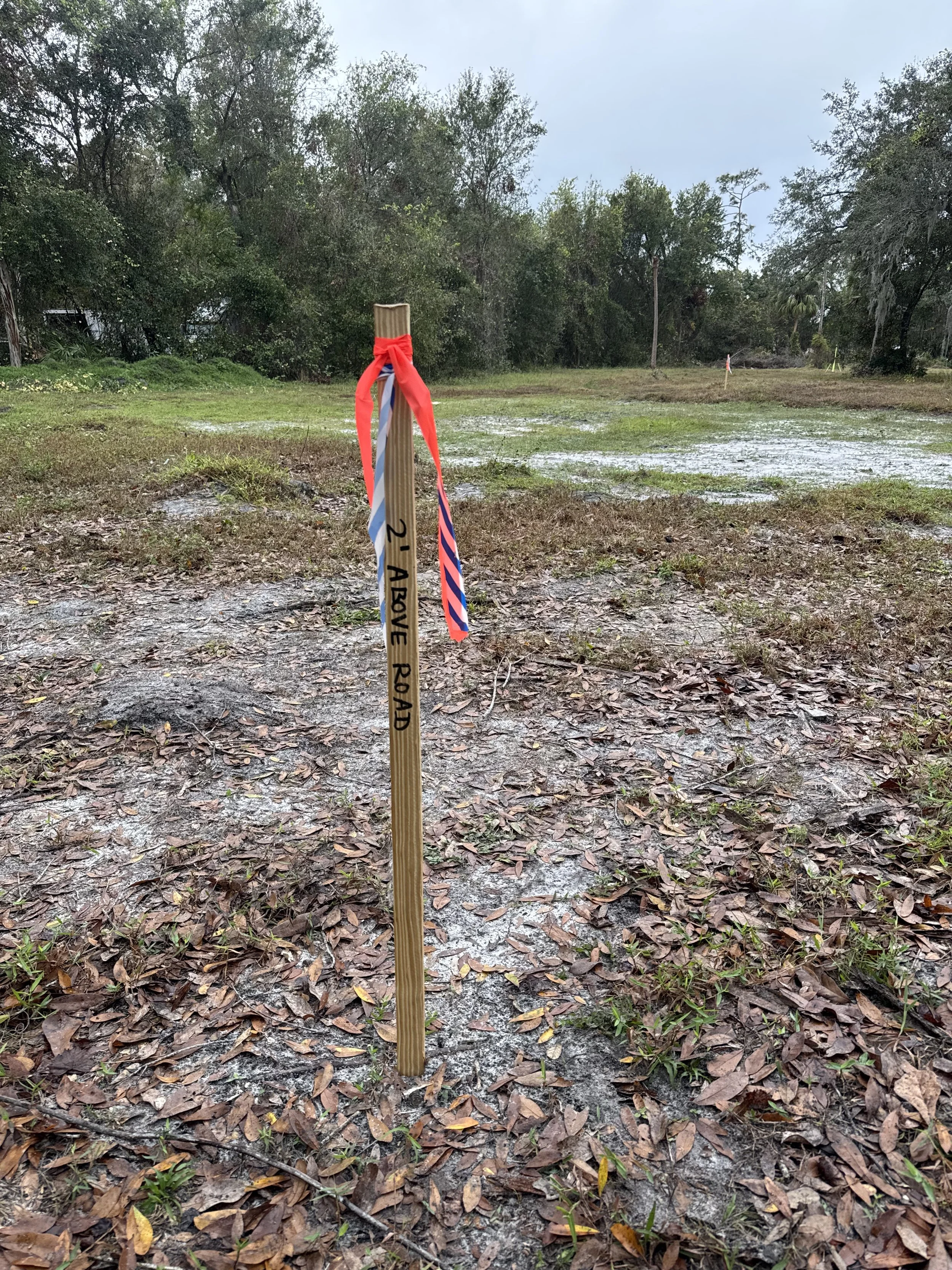
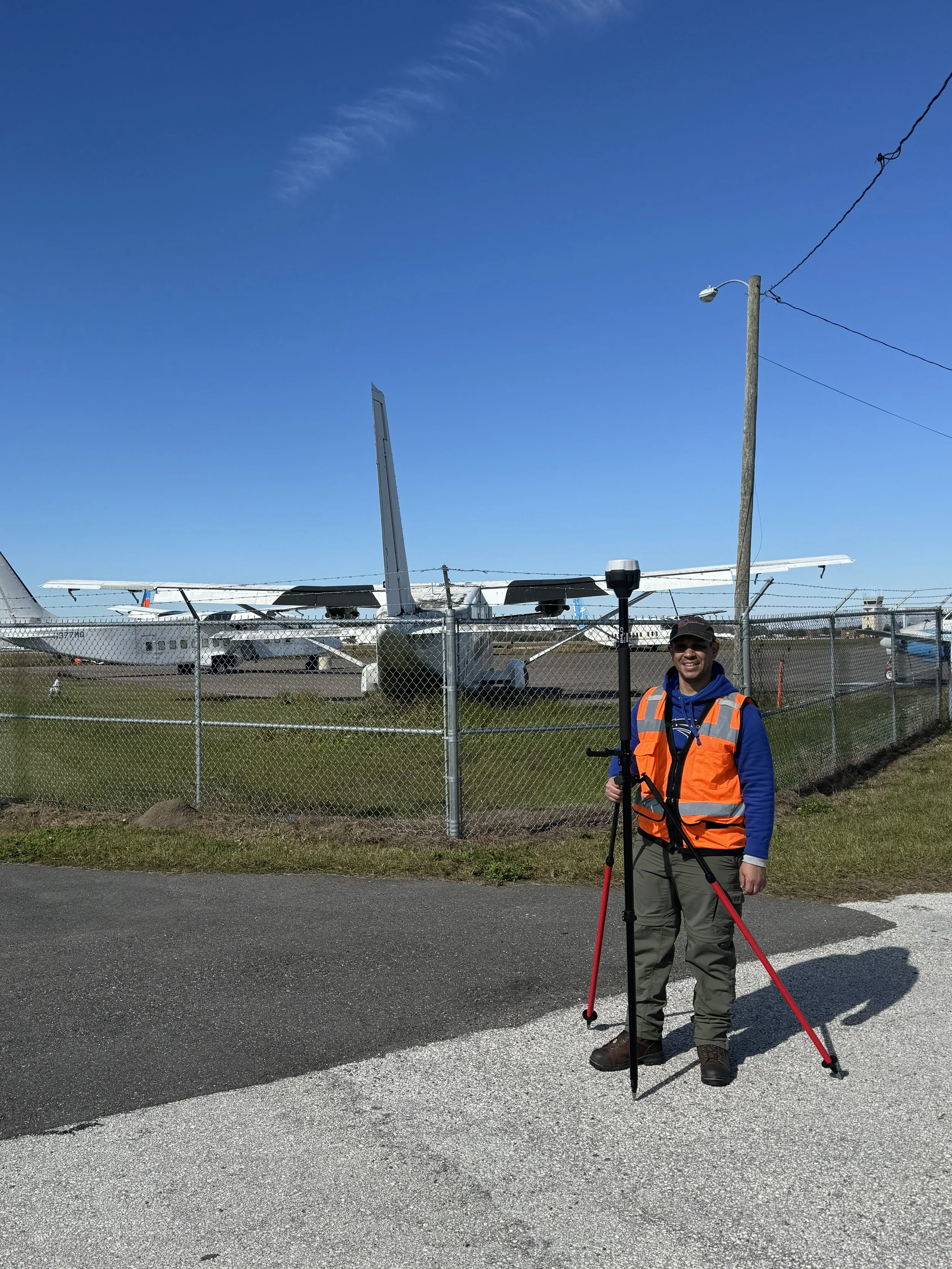
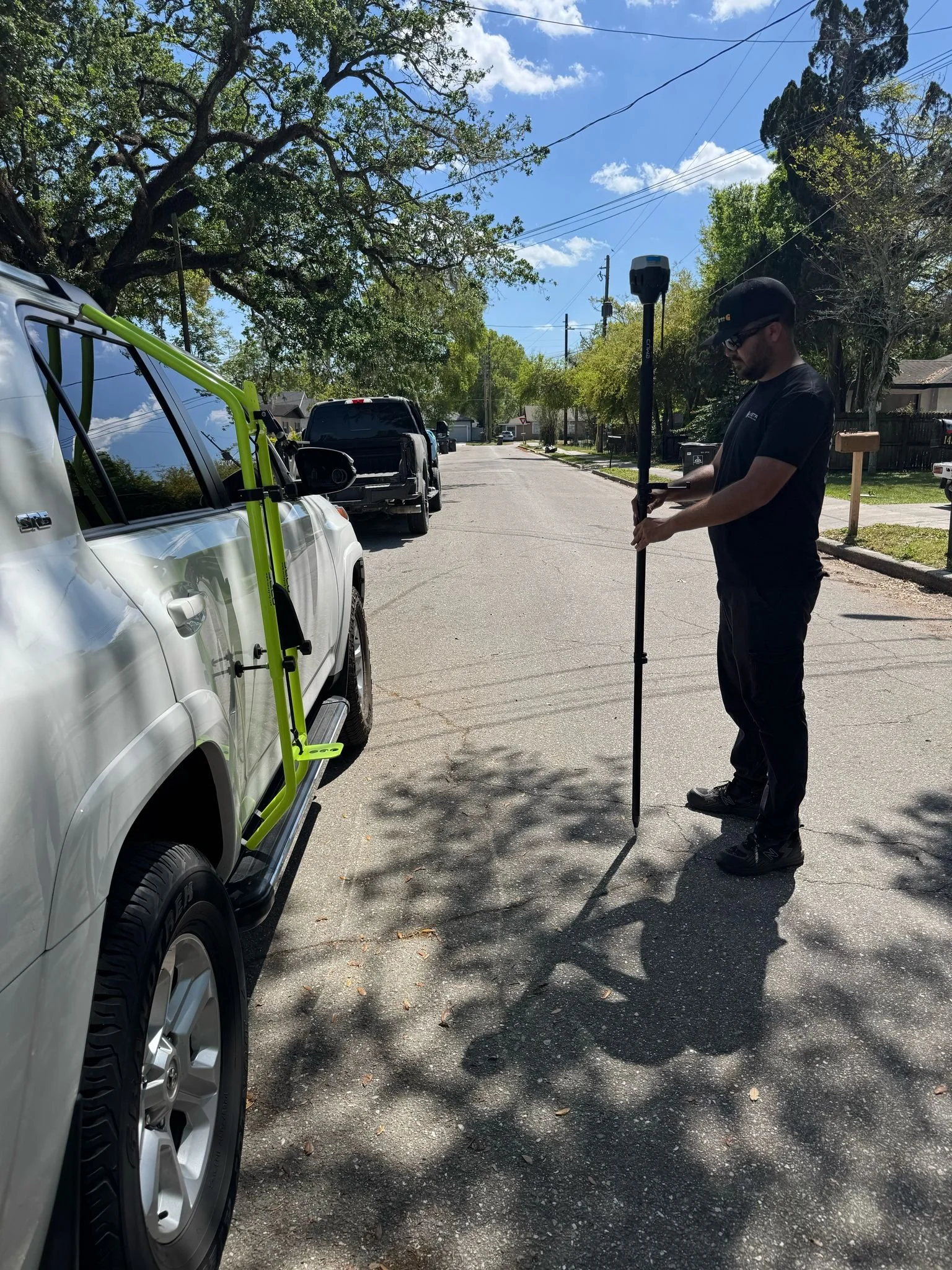
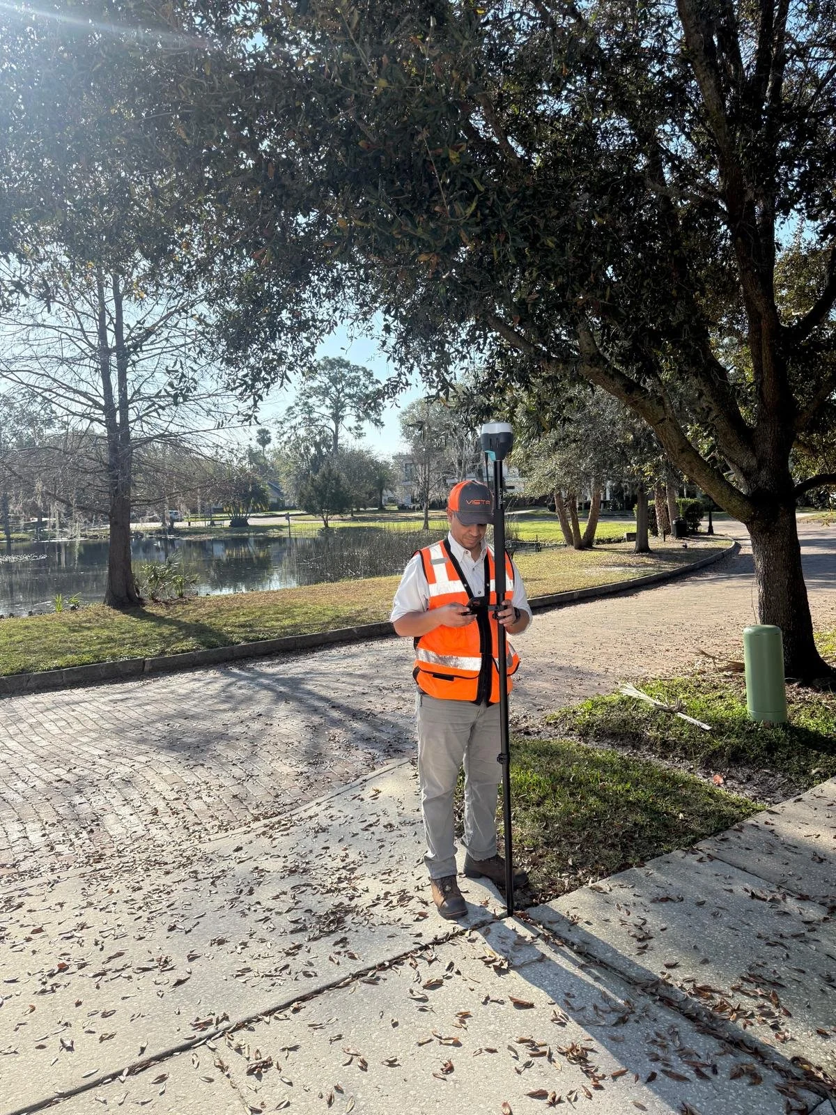
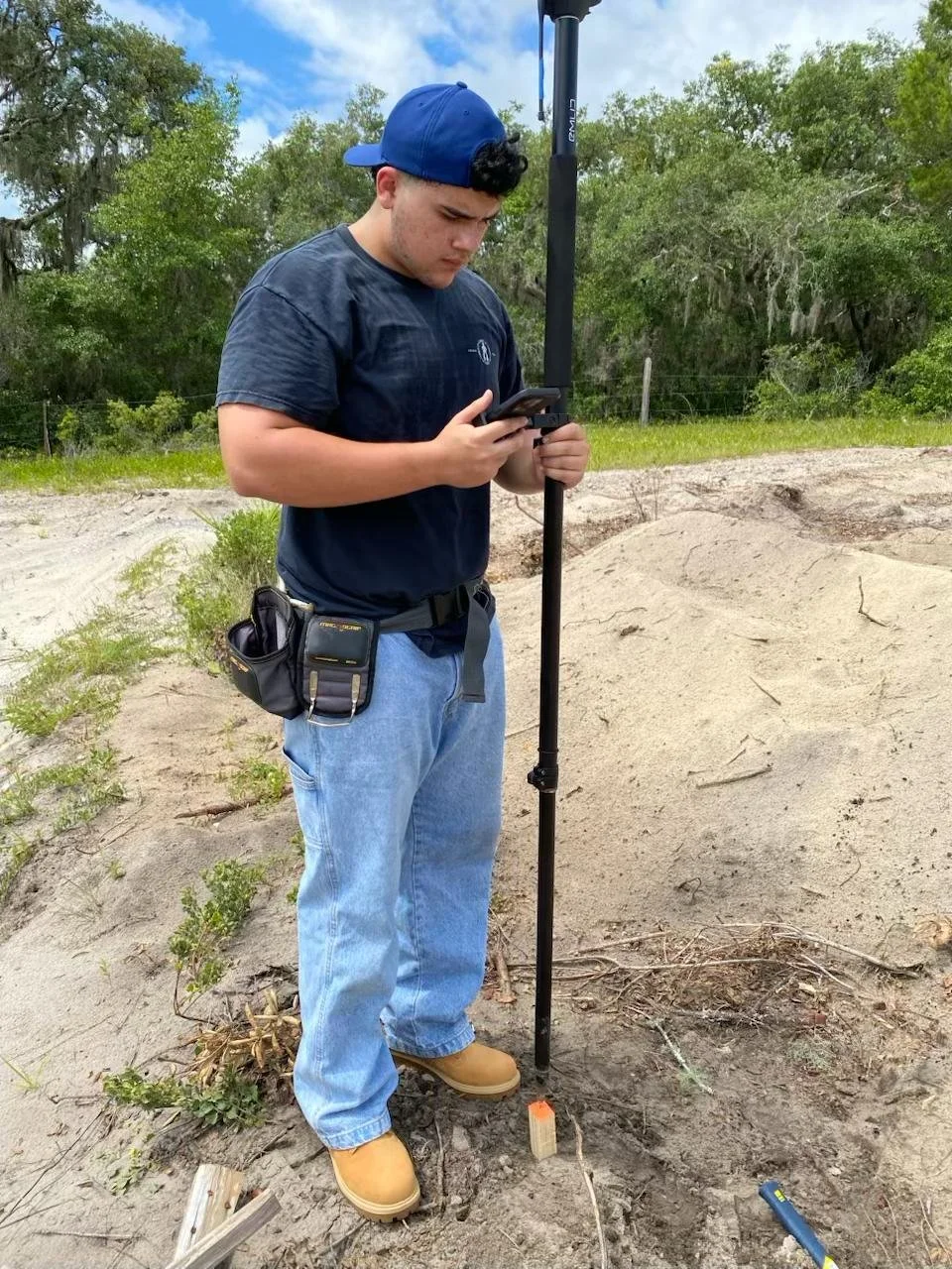
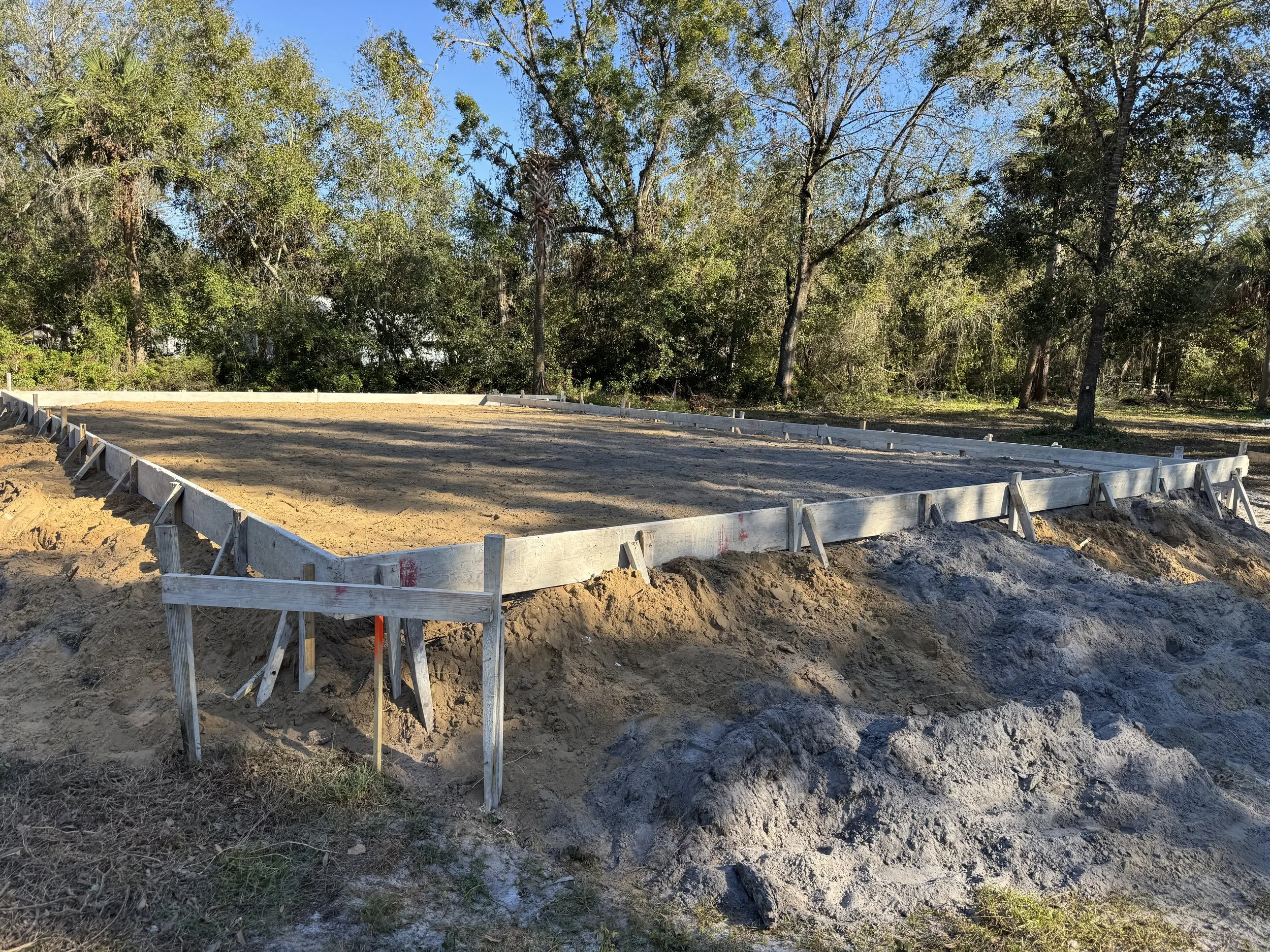
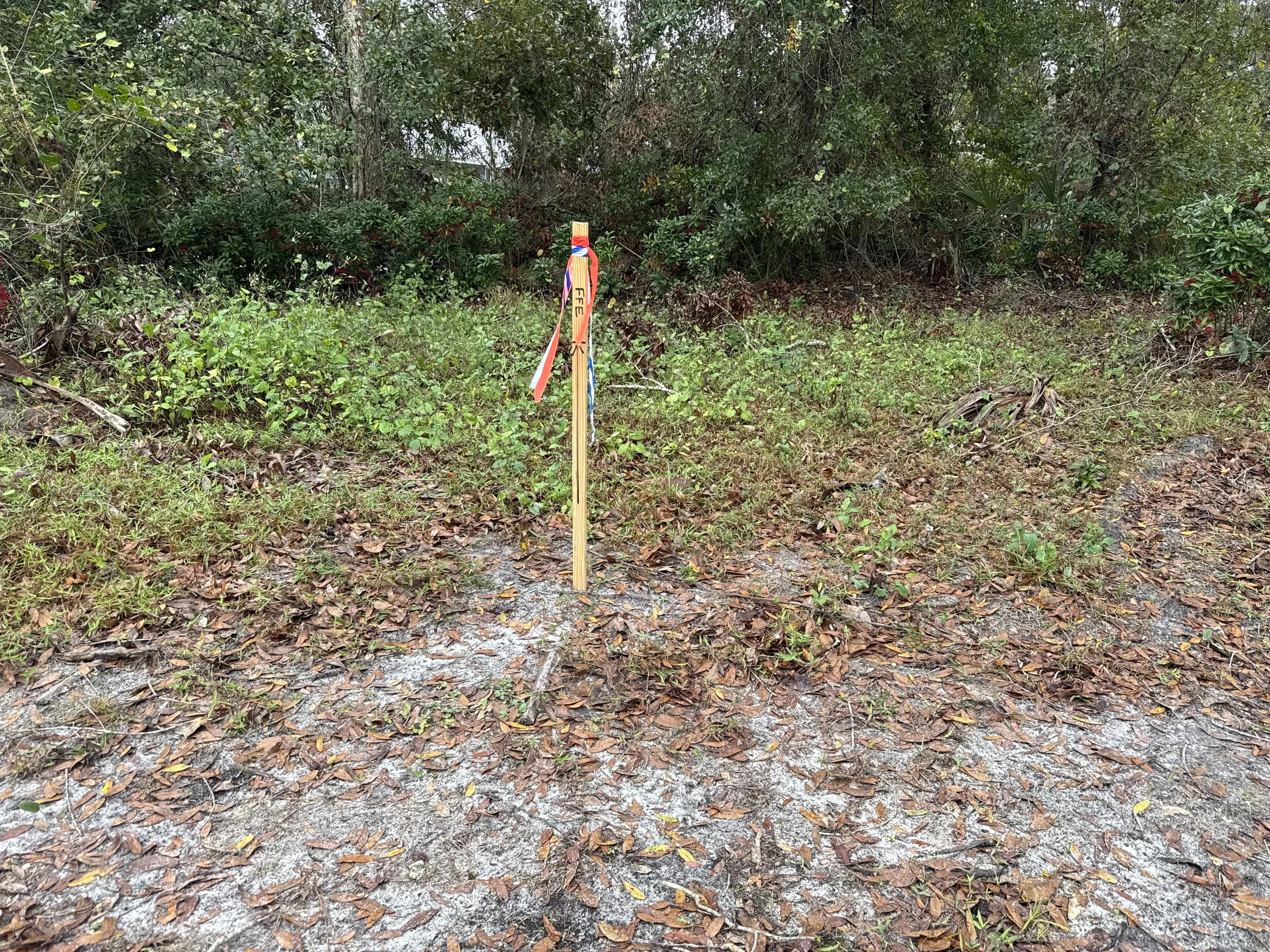
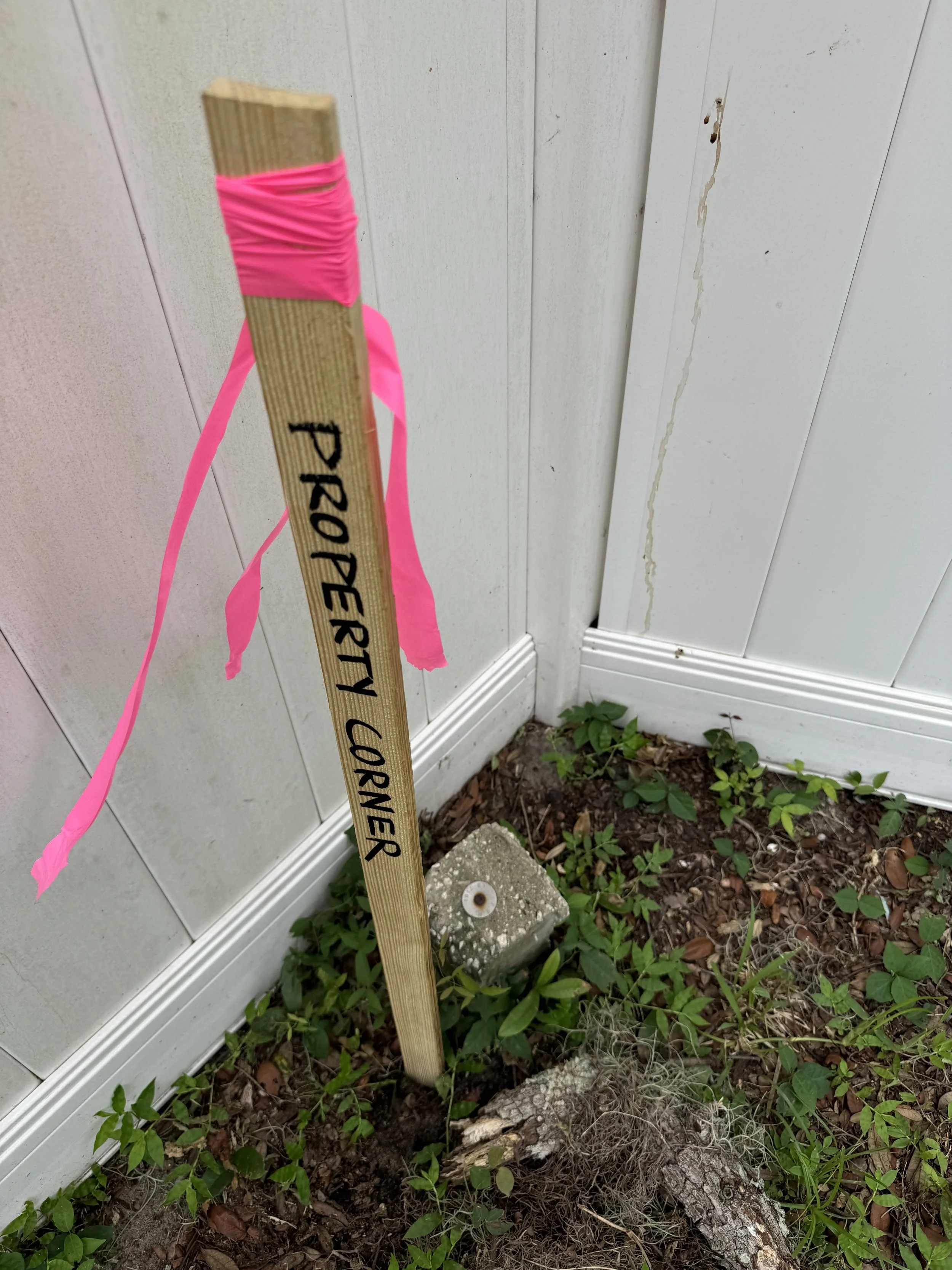
Vista Geomatics Solutions, LLC is a land surveying company offering in accordance with the current regulations of the state of Florida for Surveying and Mapping, technical solutions for a wide range of property development and mapping industries through well-known and regulated services, such as Boundary, Topographic and Tree survey, ALTA Survey, As-Built (Record) Survey, Residential Construction Survey, Formboard Survey, Foundation Survey, Mortgage Survey, Platting and Permitting of Residential Subdivisions or Planned Communities, Plot Plans, FEMA Elevation Certificates, Lot Split and Construction Layout.
Innovation and Precision in Land Surveying
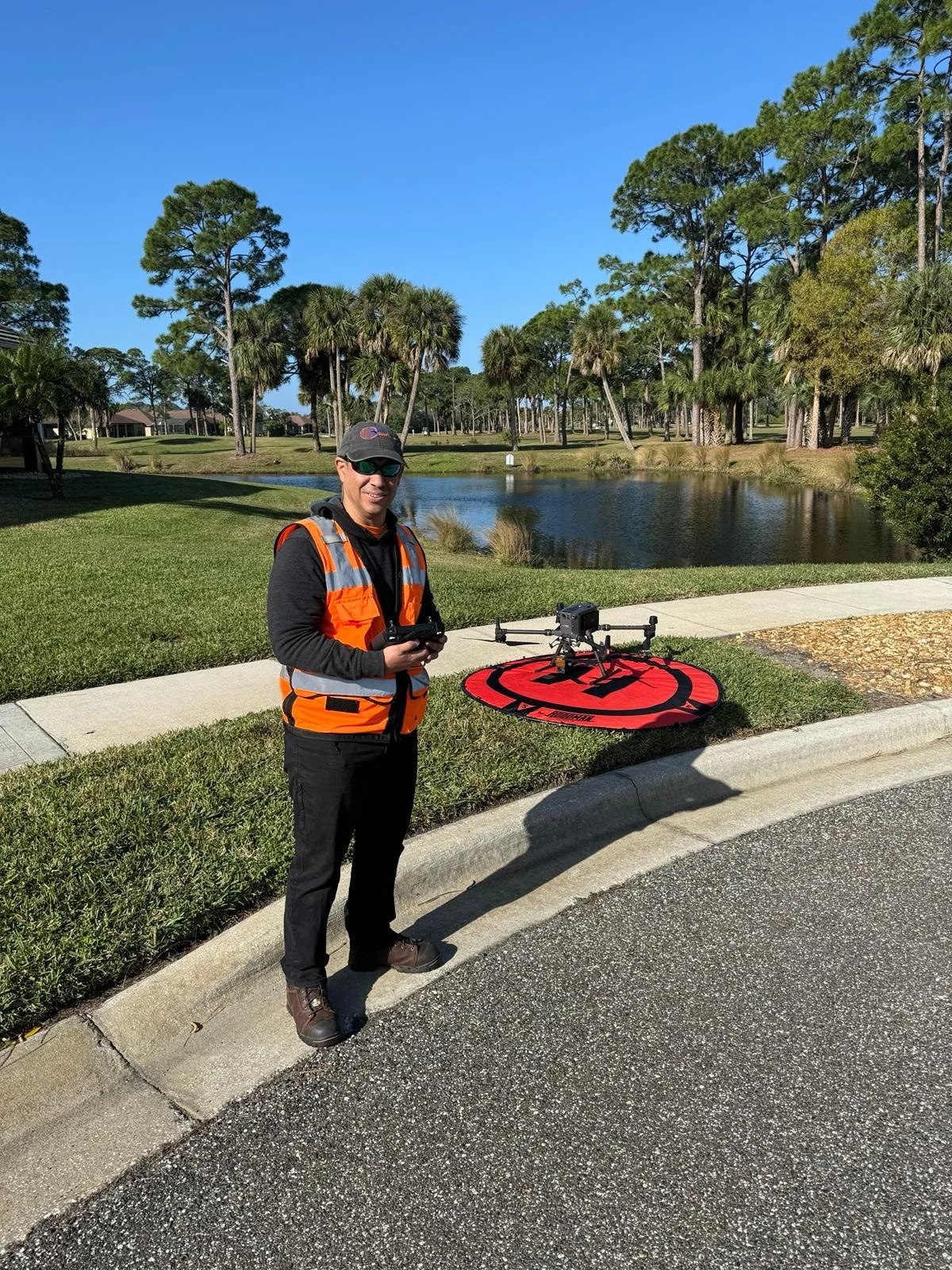
Surveying is the first step for a successful construction project. We work closely with our clients, such as homebuilders, developers and homeowners, to understand their goals and deliver accurate information on time. We offer a full range of services, from property boundary determination for land future use, drone mapping, As-Built with 3-D laser scanners, topography (terrain relief), bathymetry, construction layout and GIS consulting.

Discover Our Services
Click here to explore how we can help you with your next project!


Start your project with confidence
Contact us today!